Government mail service may be affected by the Canada Post labour disruption. Learn about how critical government mail will be handled.

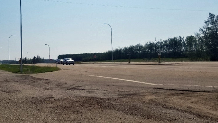
Highway 16 Westbound near Gainford

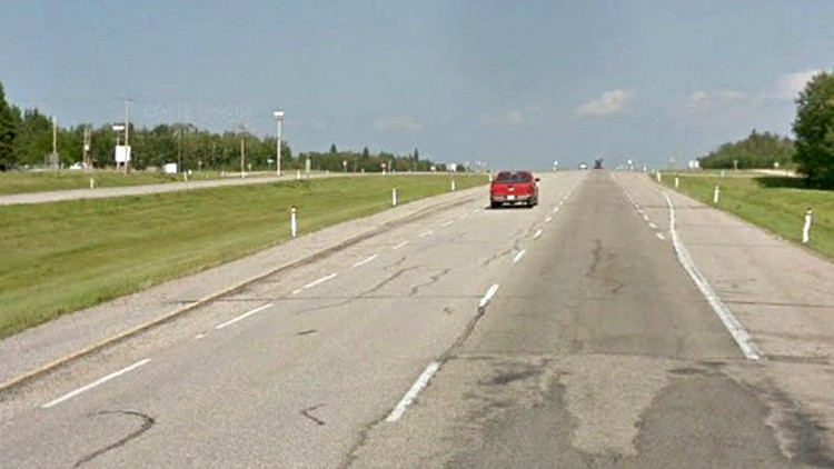
Highway 16 Eastbound near Fallis
Overview
Highway 16 is an inter-provincial route that serves as a major part of the provincial east-west trade corridor. Traffic volumes on this corridor have grown considerably in recent years, necessitating a review of existing facilities and infrastructure.
This section of Highway 16 is currently a four-lane divided highway, providing access to the communities of Gainford, Seba Beach, Fallis and Wabamun. Highway 16 is classified as a freeway, as such access will eventually be available only via associated interchanges.
The study will provide recommendations to support safe and efficient travel with the proposed improvements. The study will evaluate the current access to Highway 16, and identify improvements. The proposed improvements would constitute an interim improvement until the highway is designated as a freeway.
Timelines
- Public engagement is scheduled between September 17 and October 15.
- The study is anticipated to be completed in the fall of 2021.
- Detailed design and construction timelines have not been established.
Benefits
The improvements identified from this study will support safe and efficient travel by reducing conflict points along the corridor, and providing an enhanced level of service for the travelling public.
Proposed changes
The following changes are being proposed:
Closure of local road access directly onto Highway 16 at:
- Range Road 61 – full closure
- Range Road 55 – full closure
- Range Road 54 – full closure
- Range Road 53 – full closure
- Range Road 51 – full closure
- Range Road 45 – north leg only
- Range Road 44 – north leg only
- Range Road 43 – full closure
- Eastbound right-in/right-out private access east of Range Road 43
To accommodate local traffic impacted by these closures, the project will also include new service roads between:
- Highway 31 to Range Road 55, south of Highway 16 parallel to the railway tracks
- Range Road 54 to Range Road 52, as an extension of the existing road south of Highway 16
- Range Road 51 to Highway 765, approximately 800m north of Highway 16 along ¼ section line
- Range Road 51 to Highway 765, as an extension of the existing road south of Highway 16
No changes are proposed at the Yellowhead Trading Post access, RR52 (Isle Lake Road) / Lakeshore Drive, or Highway 765.
View the map of study area with the proposed changes.
Online survey
- Provide input by completing the online survey
Contact
Connect with us for more information:
Hours: 8:15 am to 4:30 pm (open Monday to Friday, closed statutory holidays)
Shelly Moulds
Transportation Project Manager
ISL Engineering and Land Services Ltd.
7909 51 Avenue
Edmonton, Alberta T6E 5L9
Phone: 780-438-9000
Fax: 780-438-3700
Email: [email protected]