Latest updates
Monthly updates to snowpack and water supply outlook data resumed in February. The sections below also include links to additional resources.
Provincial overview
- Compared to June, July’s Water Supply Outlook shows a broad, basin-wide increase in forecasted river volumes through September. Most of Alberta’s major river basins are now at stage 0 (no drought conditions), with the Hay River and Buffalo River basin in the far north at stage 1 (insignificant drought).
Alberta's government continues to carefully monitor snowpack, precipitation, river levels and other key data to ensure drought conditions are well understood and all water users and Albertans have the information they need to be prepared.
Drought assessment map
We are now classifying drought stages by major river basin and sub-basin. This change makes it easier to see conditions affecting different regions.
You can use the online map to learn more about the drought assessment for your area.
Get advisories, snowpack and river conditions, forecast details and more right on your smartphone.
Download the Alberta Rivers app from the App Store or Google Play.
Photo gallery
Slideshow: Impacts of water shortage in southern Alberta

Boat launch at the Oldman Reservoir Public Recreation Area (November 2023)

Boat launch at the Oldman Reservoir Public Recreation Area (November 2023)

Boat launch at the Island View day use area on the Oldman Reservoir (November 2023)

Oldman River at the west end of the Oldman Reservoir. The pipes on either side of the water are the intakes for the Cowley regional drinking water system. These intakes have been out of the water since July 2023. (November 2023)

Crowsnest River at Highway 510 (November 2023)

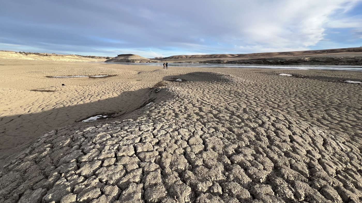
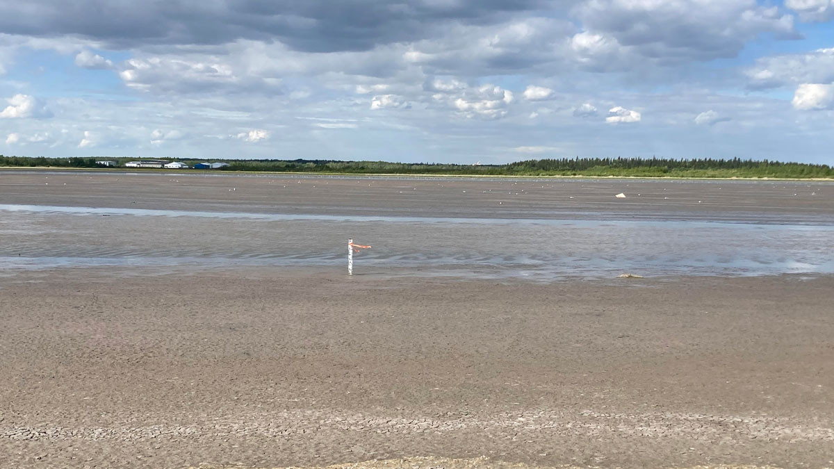
Oldman Reservoir – silt plain with the river running through it (November 2023)

Oldman River Dam Provincial Recreation Area near Windy Point (December 2023)

St. Mary’s Reservoir from the boat launch dock (November 2023)

Willow Creek near Fort McLeod
Oldman Reservoir near the Island View day use area (December 2024)
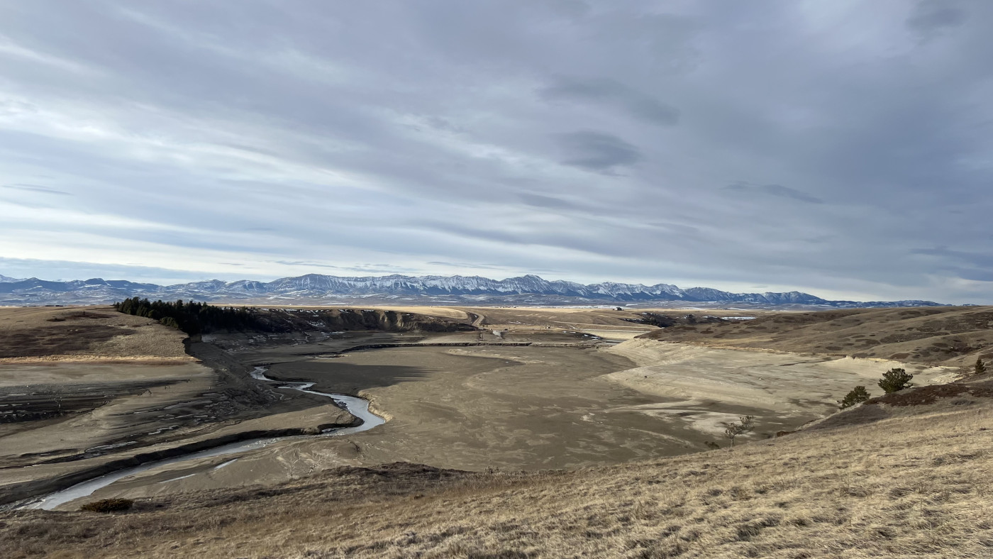
Oldman Reservoir near the Island View day use area (December 2024)

Receding water levels in Zama Lake in northwestern Alberta (December 2024)
Crowsnest River/Oldman Reservoir, downstream of secondary Highway 510 (May 2024)
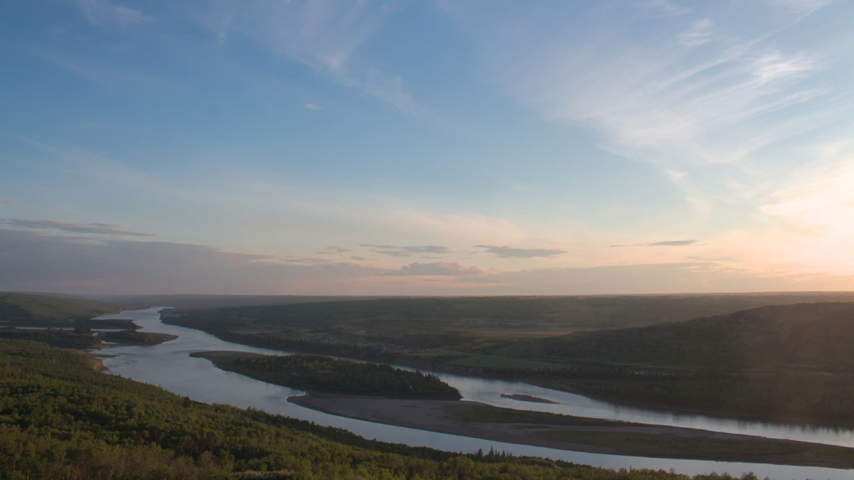
Peace River, Sagitawa Lookout near the confluence with the Smoky River (June 2024)
Cooking Lake (June 2024)
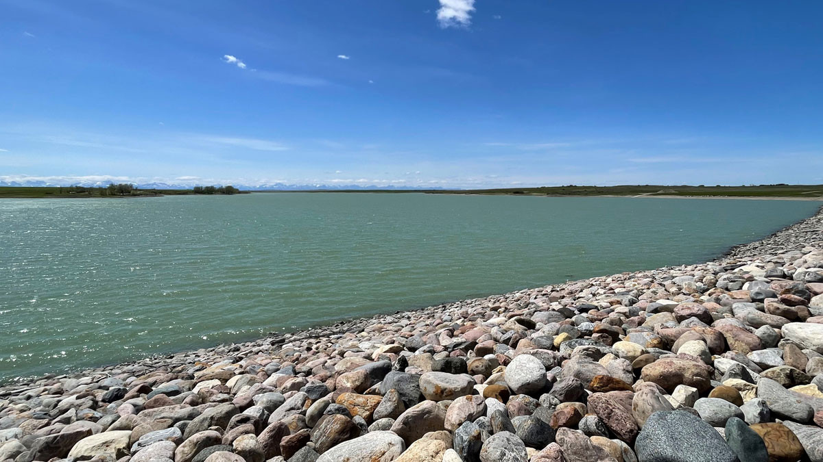
St. Mary Reservoir, near the face of the dam (May 2024)
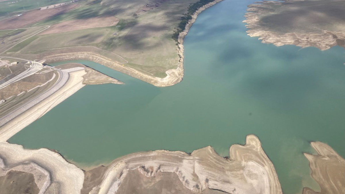
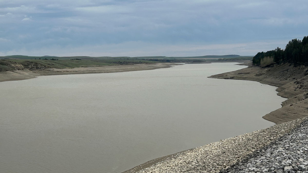
Aerial view of the Oldman Reservoir (June 2024)
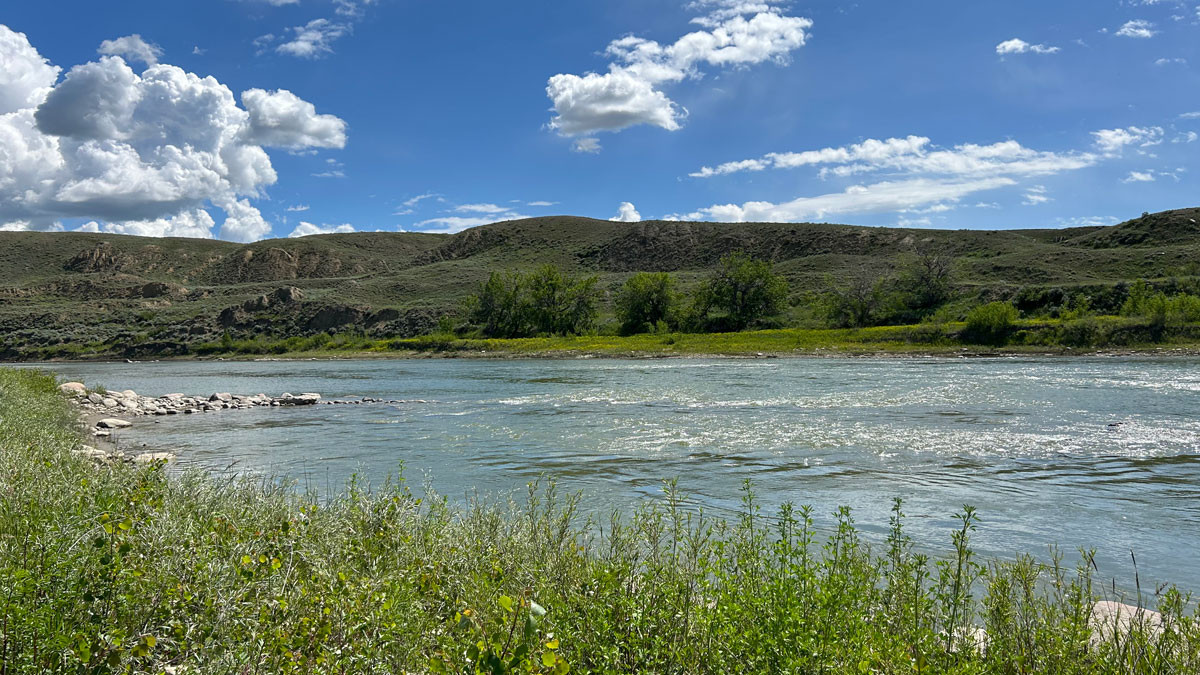
South Saskatchewan River west of Medicine Hat (June 2024)
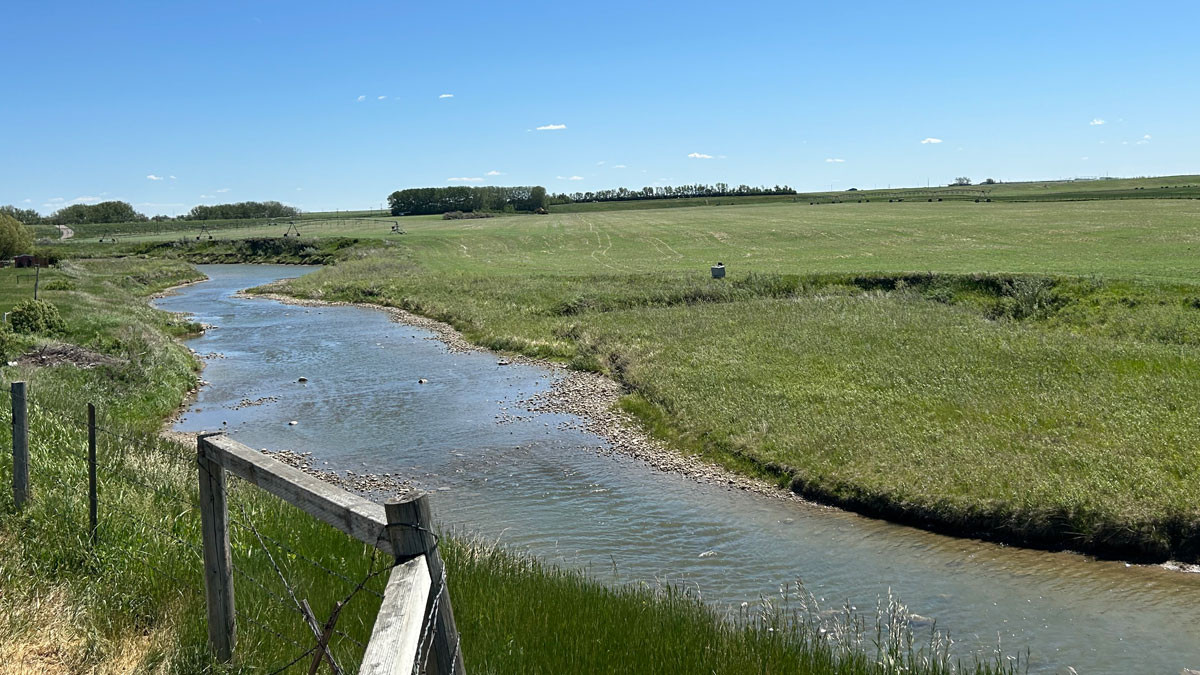
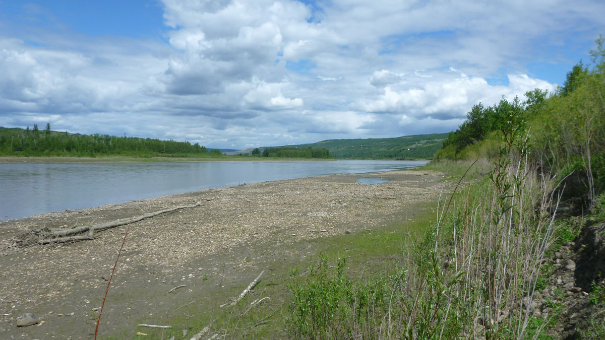
Willow Creek (June 2024)
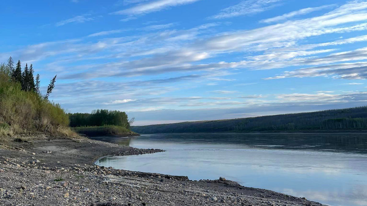
Peace River at the La Crete Ferry approach (June 2024)
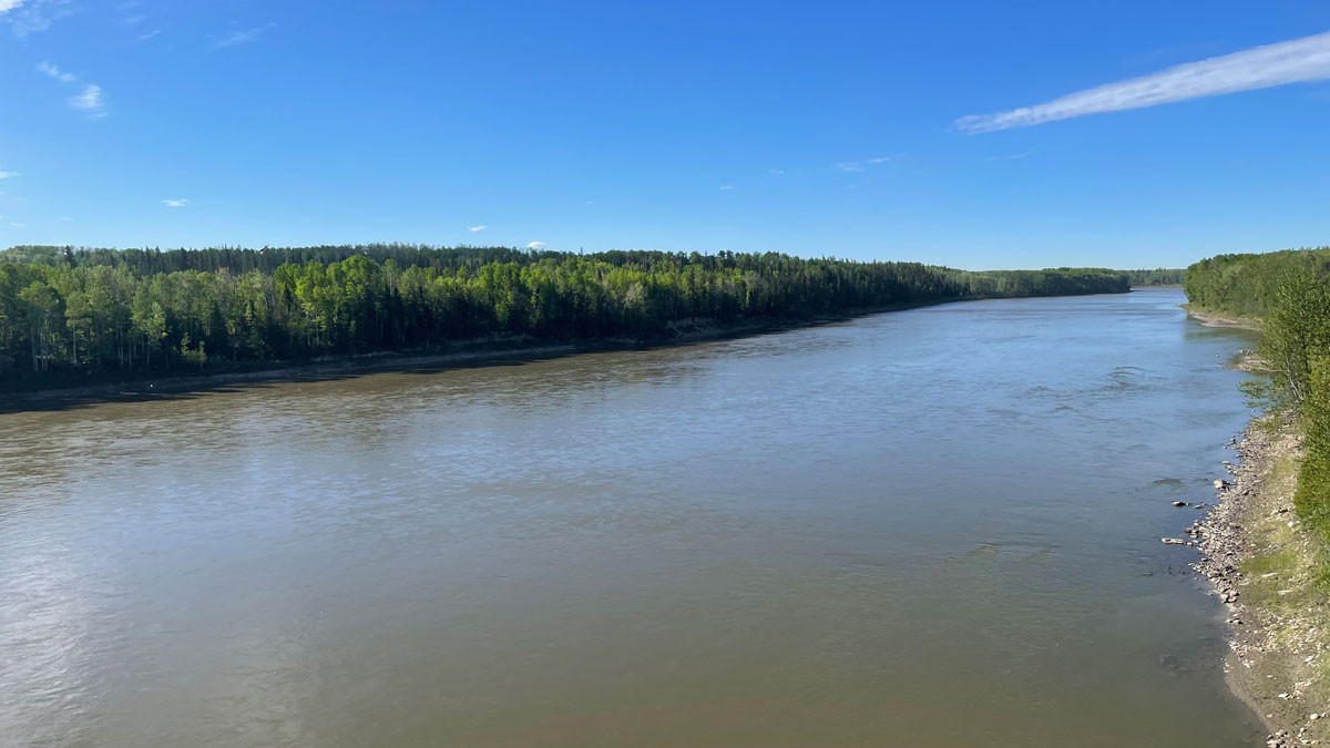
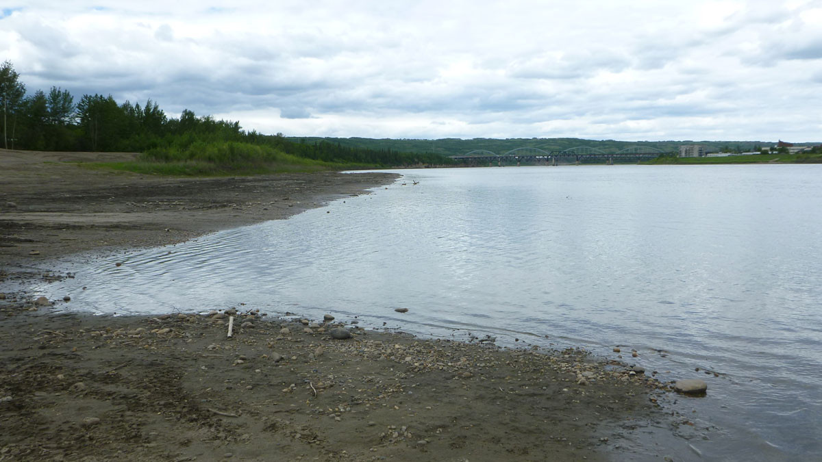
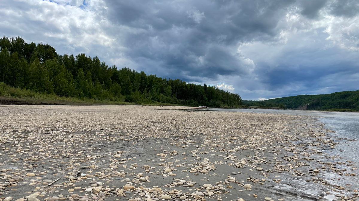
Athabasca River at the Highway 2 bridge (June 2024)
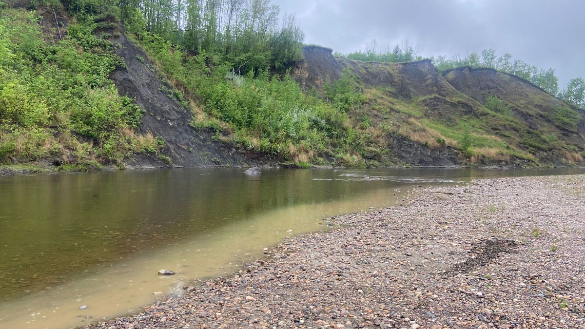
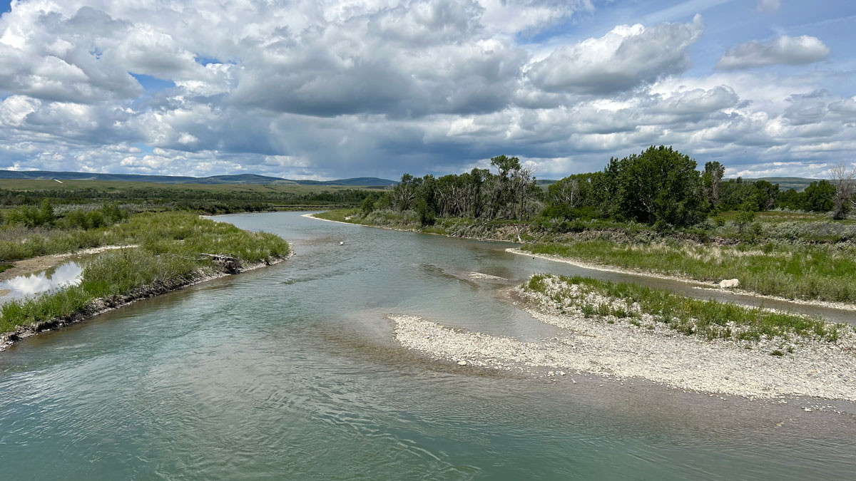
Notikewin River near Manning (June 2024)
Peace River from the Lower West Peace boat launch (June 2024)
Peace River from the south side of the Normand Boucher Community Arboretum (June 2024)
Wapiti River near Highway 40 (June 2024)
Smoky River near Highway 43 (June 2024)
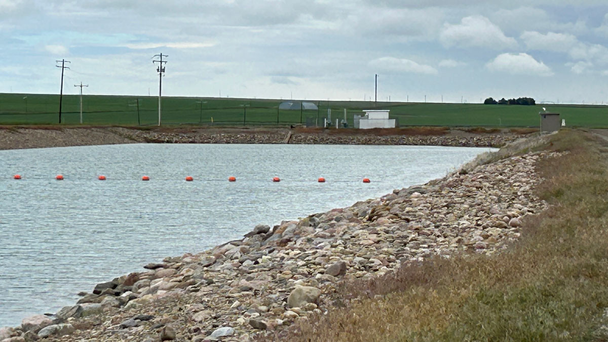
Keho Reservoir in Lethbridge County (June 2024)
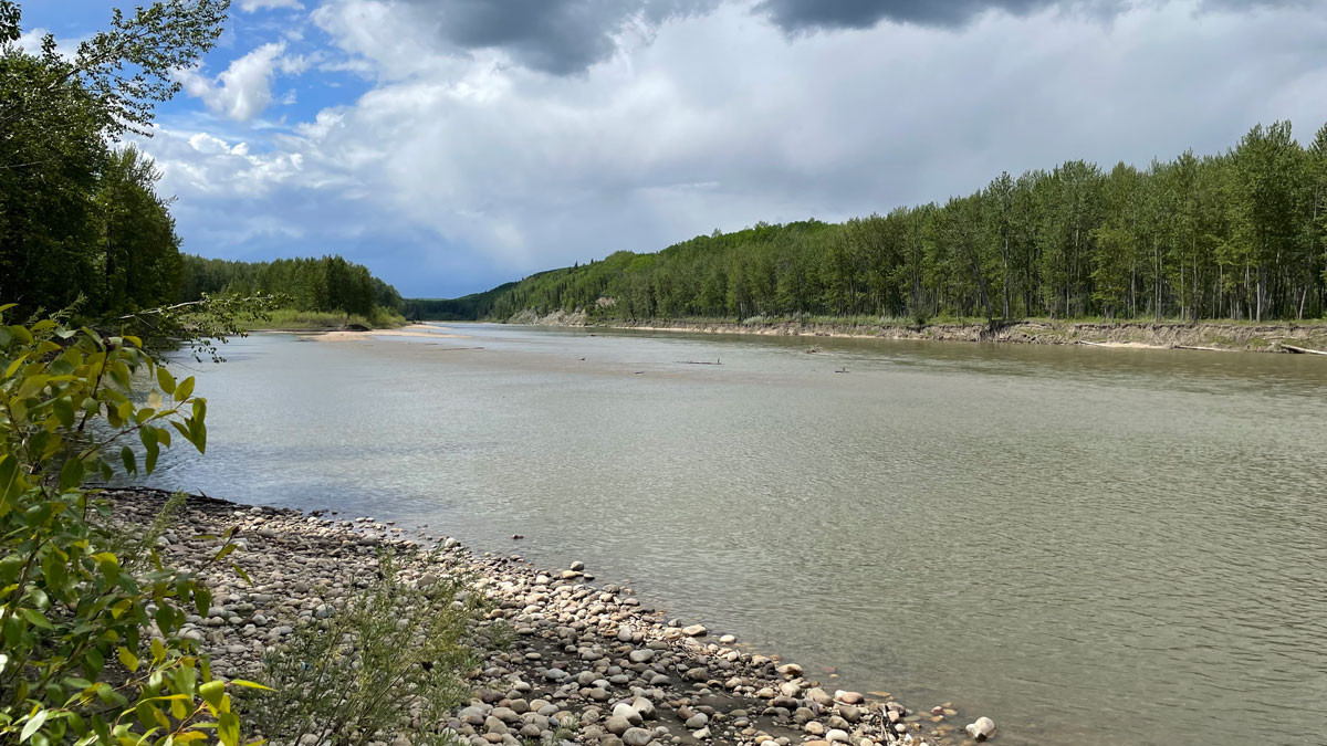
Oldman River at the Lethbridge North Irrigation District diversion (June 2024)
Contact
Connect with Environment and Protected Areas’ Outreach Services:
Hours: 8:15 am to 4:30 pm (open Monday to Friday, closed statutory holidays)
Toll free: 310-3773 (in Alberta)
Email: [email protected]