Government mail service may be affected by the Canada Post labour disruption. Learn about how critical government mail will be handled.
High wildfire danger
The wildfire danger is moderate to high across the Slave Lake Forest Area.
Scattered thunderstorms with lightning are expected with varying amounts of rain. While this may offer temporary relief, the warm and dry weather is expected to return over the weekend. With just a few hours of warm temperatures, the moisture will evaporate quickly, leading to an increased wildfire danger.
With lightning expected, fire lookout observers are watching for smoke and firefighters supported by helicopters and airtankers are ready to respond to any new wildfires that may start.
Firefighters with helicopters are responding to two new wildfires. SWF120 and SWF121 are small and firefighters do not anticipate any control difficulties.
There are currently 15 active wildfires in the Slave Lake Forest Area.
To view wildfires on a map visit the Alberta Wildfire Status Dashboard.
Since January 1, 2025, there have been 121 wildfires in the Slave Lake Forest Area, resulting in a total burned area of 387,534 hectares (ha).
Red Earth East Complex
The Red Earth East Complex includes 10 wildfires that are located east of Highway 88: SWF085, SWF089, SWF091, SWF092, SWF094, SWF095, SWF099, SWF100, SWF110 and SWF115.
In the northern portion of the Slave Lake Forest Area, scattered showers are occurring today. This rain will help reduce fire activity, creating more favorable conditions for firefighting efforts.
Firefighters, helicopters and heavy equipment continue to make good progress extinguishing hot spots on these wildfires. The wildfires have not experienced any significant growth over the past several days.
A 2-hour evacuation alert is now in effect for the residents of Red Earth Creek and Loon Lake communities.
For detailed information please visit Alberta Emergency Alert.
Although the overall wildfire threat to these communities has decreased, some hazards remain. Firefighters ask residents to please avoid all closed roads and active firefighting areas. Smoldering ground fires may still be visible, but they pose minimal threat and firefighters are actively extinguishing them.
Residents are also asked not to fly drones near the wildfires. Doing so is extremely dangerous because it forces firefighting aircraft to stop their operations, delaying critical efforts and putting firefighters and communities at risk. Flying a drone near a wildfire is illegal in Alberta and can lead to fines of up to $15,000. Please help keep our skies clear and support our firefighters by keeping all drones away from wildfire areas
Evacuation orders remain in effect for the following communities:
- Chipewyan Lake
- Trout Lake and Peerless Lake
SWF085 which impacted the community of Chipewyan Lake, is 138,058 ha in size and is classified as out of control. The wildfire experienced a small amount of spread on the south side. Firefighters in a helicopter continue to monitor the wildfire. The wildfire threat to the Chipewyan Lake community is currently minimal allowing Wildland Urban Interface (WUI) crews to remove the sprinklers and pump systems within the community.
SWF089 is located approximately 5.5 km east of Peerless Lakes. It is 12,968 ha in size and is classified as out of control. Heavy equipment has completed the containment line between on the north and east side of the community of Peerless Lake. Firefighters supported by helicopters continue to extinguishing hot spots on the southwest side of the wildfire.
SWF092 located approximately 7 km southeast of Red Earth Creek and 8.5 km west of Trout Lake is 78,194 ha in size and is classified as out of control. Firefighters continue to extinguish hot spots along the containment lines on the northwest side of the wildfire, closest to the communities of Red Earth Creek and Loon Lake. Helicopters are bucketing on hotspots on the southwest in the Bat Lake area.
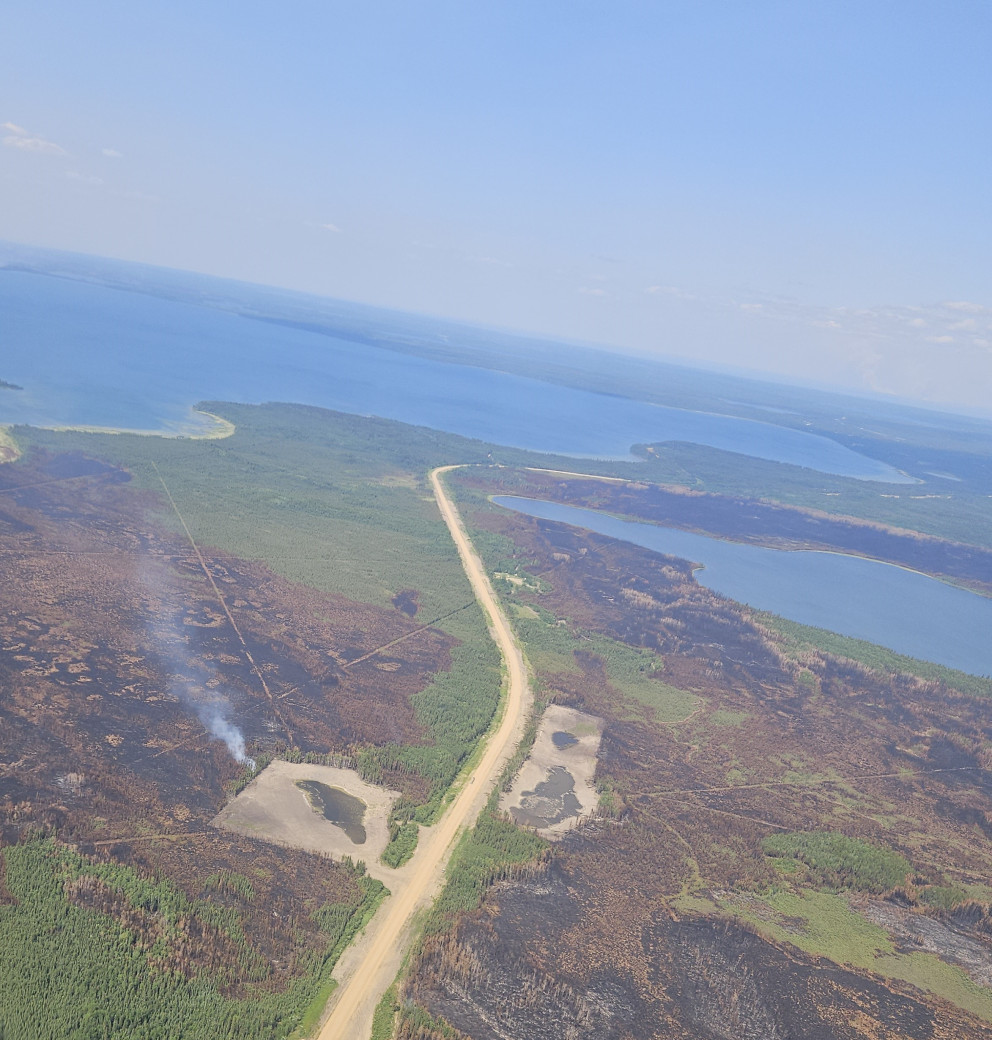 SWF095 showing minimal fire activity June 24, 2025
SWF095 located approximately 5 km from Peerless Lake and 7 km from Trout Lake is 1,331 ha in size and is classified as out of control. The wildfire remains within containment lines, which have been tied into the lakes. Wildland Urban Interface (WUI) crews test pumps and sprinkler set-ups each day in the communities of Peerless Lake and Trout Lake. Firefighters continue to work along containment lines extinguishing hot spots.
SWF100 located approximately 5 km west of Peerless Lake is 17,308 ha in size and is classified as out of control. Heavy equipment continues to build the containment line on the southwest side of the wildfire.
For information about the wildfires in the Red Earth East Wildfire Complex, please email [email protected]
Blue Sky and Edith Lake wildfires (SWF088 and SWF076)
The Blue Sky Wildfire (SWF088) located 22 km north of Marten Beach is 13,684 hectares in size. Thanks to the hard work of firefighters, aircraft and heavy equipment it is now classified as being held.
Firefighters, supported by heavy equipment and helicopters, continue to extinguish hot spots identified by the infrared scan.
The Edith Lake wildfire (SWF076) located approximately 8 km north of Swan Hills is 16,852 hectares in size and is classified as under control. Firefighters continue to patrol for hot spots with the interior of the wildfire and heavy equipment continues to reclaim containment lines.
For more information these wildfires, contact Leah Lovequist at 780-849-0945
Fire permits are required
From now until October 31, fire permits are required for any burning, except campfires, in the Forest Protection Area of Alberta. Fire permits are free and are now available online. Visit Get a fire permit for information on how to make a request online.
Fire permits are also still available, by request, from your local forest area office.
- Wabasca 780-891-3860
- Slave Lake 780-849-7377
- High Prairie 780-523-6619
Celebrating with fireworks this long weekend
The use of fireworks within the Forest Protection Area (FPA) is prohibited without written permission from a Forest Officer. Written permission is required year-round. To obtain written permission to shoot, discharge, detonate or ignite fireworks within the FPA call your local forest area office.
Choose a safe campfire site
When visiting campgrounds or recreational areas, use the designated stoves, fire rings or fire pits. These are designed to keep fires from spreading and are the best choice for a safe campfire. When outside of a campground, use sites that are clear of dry grass and vegetation. Clear the site down to bare mineral soil, place rocks in a ring, keep it sheltered from wind and always have water nearby to extinguish your campfire.
Never leave a campfire unattended. When you're done, always soak it, stir it and soak it again until the ashes are cool to the touch.
When riding your off-highway vehicle
Off-highway vehicles (OHVs) have exhaust systems that get hotter than 200°C. At these temperatures, built-up materials (such as grass, muskeg, moss or other debris) can heat up, smoulder and ignite. These can fall to the ground as you are riding, starting a wildfire.
To help prevent wildfires when riding your OHV, stop frequently to remove any build- up of debris on your machine's muffler and always carry firefighting equipment such as a small shovel, collapsible pail or fire extinguisher.
Contact info
Leah Lovequist
780-849-0945
[email protected]
Published on June 25, 2025 4:55 pm