The fire danger remains extreme at this time.
Wildfire situation
Sousa Creek Wildfire Complex (HWF036, HBZ001 and HBZ002)
Wildfire HWF036 is between Rainbow Lake and High Level, on both sides of Highway 58. It is currently out of control at 53,295 ha. The wildfire has not grown in a week and remains the same distance from the communities of Chateh, Rainbow Lake, Meander and High Level. Fire activity is expected to increase again today as temperatures rise. Smoke may be visible as unburnt pockets of vegetation ignite in the interior of the fire.
An infrared scan of wildfire HWF036 was recently conducted to identify the hot spots that firefighters will be targeting. The hottest part of the fire is the southwest portion, the furthest area from Chateh.
Firefighters are strengthening the containment line on the northern side of the perimeter, which is the closest to Chateh. They are working further into the interior of the fire and extinguishing hot spots. Firefighters, bucketing helicopters and heavy equipment are also working on containing the west and south sides of the wildfire.
Wildfires HBZ001 and HBZ002 are located on the Alberta-B.C. border. They are both out of control at 15,313 ha and 1,733 ha respectively. These wildfires have not grown recently. Firefighters are working to contain them.
None of the wildfires in the Sousa Creek Complex currently pose a threat to communities.
Wildfire south of Meander, west of Highway 35
HWF065, which is currently out of control, remains about 15 km south (from reserve boundary) of the community of Meander River and about 2.2 km from Highway 35 (at its closest point). This wildfire is estimated at 650 hectares (ha).
Firefighters, heavy equipment and bucketing helicopters continue their efforts to contain and suppress this wildfire. The cause of HWF065 is under investigation and this wildfire does not currently pose a threat to communities.
Additional information for residents of Bushe, Chateh and Meander
Public safety-related information may also be available on the Dene Tha Facebook page, Dene Tha Radio (89.9 FM), and posters in the Bushe, Chateh and Meander communities.
Wildfire statistics
Since January 1, there have been 80 wildfires in the High Level Forest Area, burning more than 55,000 ha. To view wildfires on a map and for live updates, download the Alberta Wildfire App or visit the Alberta Wildfire Dashboard. Learn about the wildfire status definitions used in Alberta.
Fire ban
A fire ban remains in effect for the High Level Forest Area. Under this ban, all outdoor wood fires are prohibited, and existing fire permits are suspended.
Prohibited:
- All outdoor wood fires, including wood campfires on public and private land, designated firepits and backyard firepits
- Barbecue charcoal briquettes
- Fireworks and exploding targets
Allowed:
- Propane fire pits and natural gas-powered appliances
- Indoor wood fires
- Open flame oil devices
The fire ban will remain in effect until conditions improve. Visit Alberta Fire Bans for more information and to see the boundaries. See the fire ban fact sheet for more information.
Community engagement
The High Level Forest Area participated in the Canada Day parade and events at Centennial Park in High Level on July 1. Alberta Forestry's mascot, Bertie Beaver, made appearances at the parade and the park.
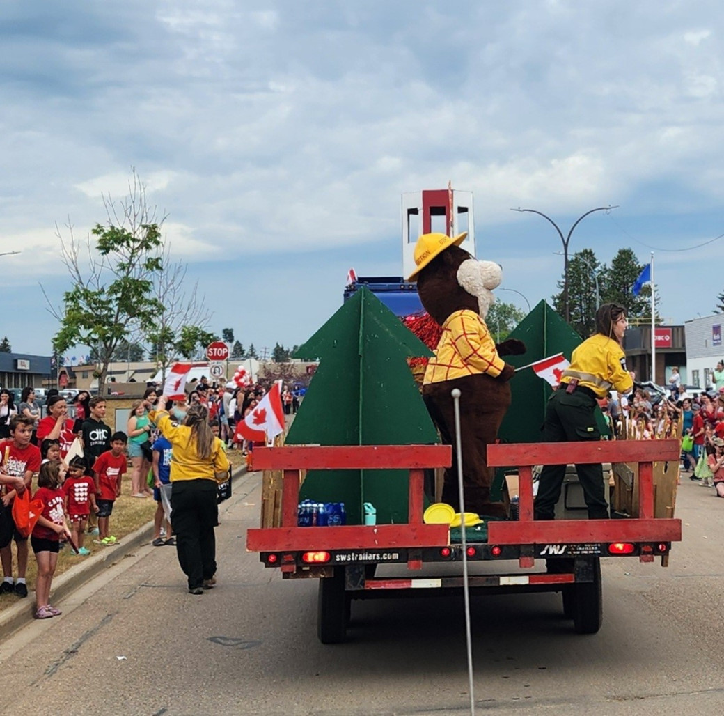 Alberta Wildfire personnel, including “Bertie Beaver” (Alberta Forestry’s mascot), engage with crowds at the Canada Day parade in the Town of High Level (July 1).
Alberta Wildfire personnel will be at the Dene Tha' First Nation Annual Assembly in Chateh today (July 2) to share information and discuss wildfire prevention with participants. We will also be at the High Level Rodeo on Saturday, July 12.
Contact info
Mark Giles
780-285-4490
[email protected]
Published on July 2, 2025 2:53 pm