The fire danger remains extreme. Although there is some rain in the forecast for the next few days, forest vegetation is extremely dry and continues to pose a serious fire risk.
Wildfire situation
Wildfire south of Meander, west of Highway 35
HWF065, which is currently out of control about 15 km south of the community of Meander River and about 2.2 km from Highway 35 (at its closest point), is currently estimated at 500 hectares (ha). The 15 km is the distance between the southern boundary of the Meander River reserve area and the northern (closest) edge of the wildfire. Its cause is under investigation.
Airtankers did several retardant drops late yesterday and firefighters, heavy equipment and bucketing helicopters continue to respond as part of overall efforts to contain and suppress this wildfire. HWF036 does not currently pose a threat to communities.
Sousa Creek Wildfire Complex
HWF036, known as the Sousa Creek Wildfire, is now being combined with the two Alberta-B.C. border wildfires (HBZ001 and HBZ002) to form the Sousa Creek Complex. A complex is a group of wildfires in proximity, which are then managed by one incident-management team (IMT). A new Alberta IMT is transitioning in today and will assume responsibility for operations and suppression efforts in this newly formed complex, which includes HWF036.
HWF036, which is between Rainbow Lake and High Level, on both sides of Highway 58, is currently out of control at 53,295 ha. The cause of this wildfire remains under investigation.
While there has been no significant growth over the past 24 hours, there are several newly detected hot spots — on or within the perimeter — on the west side of the southern tip of the wildfire (see map below). Firefighting efforts continue to maintain the well-established containment lines on the north-northeast side, which protect the community of Chateh. Firefighters, bucketing helicopters and heavy equipment continue containment and suppression efforts on the west and south sides of the wildfire.
Airtankers are providing support, as required, and night-vision-equipped helicopters continue to assist with overnight operations, when available and when conditions permit.
This wildfire remains approximately the same distances from communities (Chateh, Meander, Rainbow Lake and High Level), which are to the north, northeast, west and east respectively.
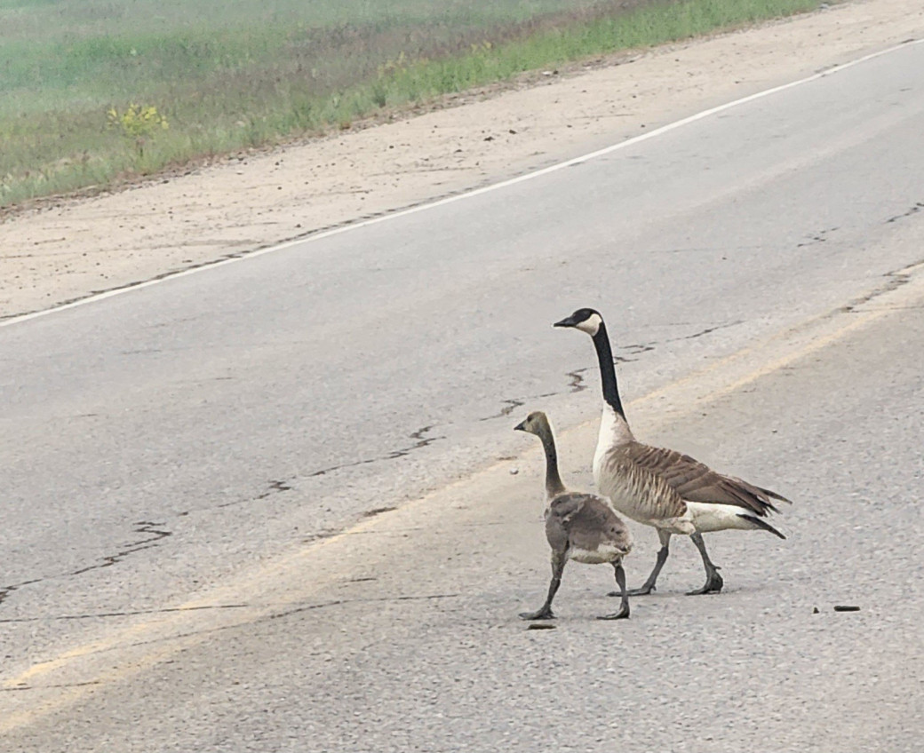 Drivers are asked to use caution while travelling on Highway 58, especially given limited visibility in some places. Please watch for firefighters and other workers (and posted 50 km/hour signs) — and wildlife in the area. These two geese were crossing Highway 58 today, along with at least a dozen others who crossed minutes before (June 26).
HBZ001 and HBZ002, which are currently burning out of control along the provincial border, continue to be monitored by Alberta Wildfire and its B.C. counterpart. Airtankers have done some drops on HBZ002 and fire crews, which are flown in by helicopter when available, have been conducting suppression efforts on this wildfire. As noted above, these two wildfires are now part of the Sousa Creek Complex, along with HWF036.
Additional information for residents of Chateh and Meander
Public safety-related information may be available on the Dene Tha Facebook page, Dene Tha Radio (89.9 FM), and posters in the Bushe and Meander communities (band offices).
Rapid response by local fire departments to hold HWF068
Thanks to a very quick response by the John D’Or and Garden River fire departments, which are both part of the Little Red River Cree Nation, this wildfire (HWF068) — detected late yesterday between the two communities — is now being held at 0.1 ha. Alberta Wildfire is supporting efforts by the LRRCN to fully contain and suppress this wildfire.
Wildfire statistics
Since January 1, there have been 68 wildfires in the High Level Forest Area, burning more than 55,000 ha. To view wildfires on a map and for live updates, download the Alberta Wildfire App or visit the Alberta Wildfire Dashboard. Learn about the wildfire status definitions used in Alberta.
Fire ban
A fire ban remains in effect for the High Level Forest Area. Under this ban, all outdoor wood fires are prohibited, and existing fire permits are suspended.
Prohibited:
- All outdoor wood fires, including wood campfires on public and private land, designated firepits and backyard firepits
- Barbecue charcoal briquettes
- Fireworks and exploding targets
Allowed:
- Propane fire pits and natural gas-powered appliances
- Indoor wood fires
- Open flame oil devices
The fire ban will remain in effect until conditions improve. Visit Alberta Fire Bans for more information and to see the boundaries. See the fire ban fact sheet for more information.
Community Engagement
The High Level Forest Area will be participating in several community outreach events over the next few weeks, including:
- NLFES 'Float-n-Fun" camp - June 28-29 at Machesis Lake; sponsored by the Northern Lights Forest Education Society (NLFES) with a focus on forest health and foraging. Alberta Wildfire is set to present between 1 - 3 p.m. on Sunday, June 29.
- Canada Day celebrations in the Town of High Level – Tuesday, July 1
- High Level Rodeo - Saturday/Sunday, July 12-13
Note: "Bertie Beaver" is expected to make appearances on Canada Day and at the rodeo.
Contact info
Mark Giles
780-285-4490
[email protected]
Published on June 26, 2025 3:23 pm