The fire danger level remains extreme throughout the High Level Forest Area.
Sousa Creek Wildfire (HWF036)
The Sousa Creek Wildfire is between the towns of Rainbow Lake and High Level, near the Chateh turnoff, and along both sides of Highway 58. This wildfire, which is out of control at an estimated 37,000 hectares (ha), remains the highest priority fire within the forest area.
It is located (approximately):
- 5.9 km from the southern edge of the community (reserve area) of Chateh
- 56 km from the southeast edge of the community (reserve area) of Meander River
- 71.5 km from the western edge of the Town of High Level
- 27.5 km from the eastern edge of the Town of Rainbow Lake
There was some growth along the northeast perimeter today and the efforts of ground and air crews are focused on containing this area to prevent further spread. Heavy equipment continues to work along the northeastern perimeter, near Sousa Creek. Additional heavy equipment has started building containment line along the northwestern perimeter, south of Highway 58. Firefighters with helicopter support will continue to work along established lines. Air tanker support is available, when required and when conditions are suitable.
Additional firefighting resources
Additional resources continue to arrive in the forest area to support suppression efforts on the Sousa Creek Wildfire (HWF036), including:
- an 11-person incident management team (IMT), which arrived today from Quebec and will transition into its role over the next 36 hours, taking over from the current IMT;
- a 20-person fire crew, which arrived from Oregon on Tuesday;
- a 20-person fire crew from Washington (state), which arrived Monday;
- additional heavy equipment that has arrived over the past 72 hours;
- an additional 20-person U.S fire crew and a local 8-person crew set to arrive tomorrow;
- and an additional heavy helicopter, which can carry at least twice the amount of water for bucketing. It will join another heavy helicopter already on location and the two night-vision-capable helicopters.
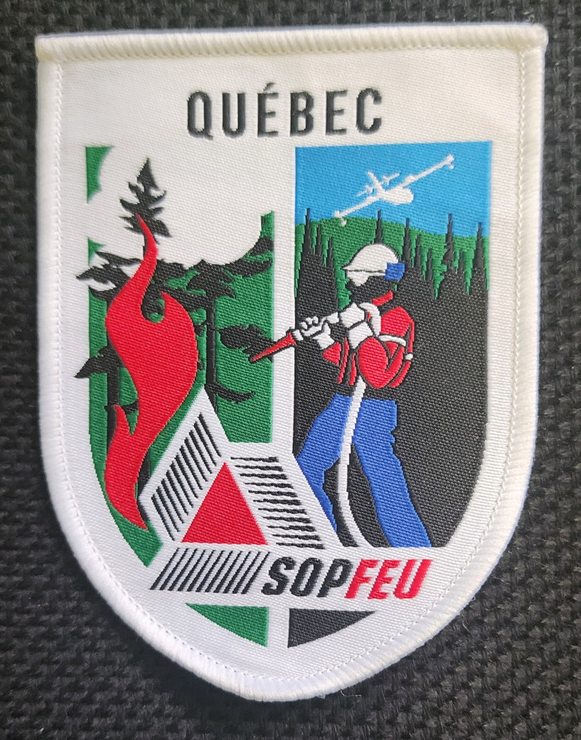 A huge thank-you today to the members of the Quebec IMT, as well as several U.S. fire crews, who have deployed far from their homes to help Alberta firefighters suppress wildfire HWF036.
An IMT oversees planning, operations and logistical support for ground crews, aircraft and heavy equipment for a specific wildfire or group of fires (HWF036 in this case) — coordinating closely with the forest area, as required. The night-vision-equipped helicopters will provide overnight bucketing capability to support ongoing efforts to suppress HWF036. With this additional capability and the newly arrived heavy helicopter, HWF036 now has three heavy helicopters in location to boost overall air support.
Structure protection has been deployed within the community of Chateh, and power to the Town of Rainbow Lake and Chateh is not currently impacted. ATCO crews continue to work on repairing damaged powerline infrastructure within the fire. Telus has completed repair work on communication infrastructure, which had been damaged, to reestablish communications for the Town of Rainbow Lake.
Travellers on Highway 58 should expect delays or intermittent closures (please check 511 for updates). The cause of this wildfire remains under investigation.
HWF037
This wildfire is within the Buffalo Head Hills, about 33 km west of the community of Tall Cree First Nation South. It is out of control at about 940 ha.
Heavy equipment continues its work building a containment line with a current focus on the south side. This will be followed by work on the eastern side, along a corridor between two previously burned areas. This corridor is stalling growth to the east-southeast. Bucketing helicopters provided air support for three fire crews, which arrived today to support suppression efforts.
There is currently no threat to communities, and the cause of this wildfire is under investigation.
HWF040
This wildfire, which is east of the La Crete Ferry and just south of Highway 697, is now being held at about 395 ha. With the progress made on this wildfire, crews have been able to remove the structure protection previously put in place and evacuated residents have returned home.
Three fire crews with helicopters, water trucks and heavy equipment operators are continuing their work to suppress this wildfire.
Travellers on Highway 697 should expect delays (please check 511 for updates). The cause of this wildfire remains under investigation.
Smoke from wildfire on the Alberta-B.C. border
Residents and others on the western side of the forest area may see smoke from a wildfire (HBZ001) currently burning along the provincial border. The High Level Fire Centre is in regular contact with its B.C. counterpart to monitor this wildfire. The Government of Canada also monitors smoke conditions across the country.
In 2025, there have been 47 wildfires in the High Level Forest Area to date, burning more than 38,000 ha.
To view wildfires on a map and for live updates, download the Alberta Wildfire App or visit the Alberta Wildfire Dashboard. Learn more about wildfire status definitions used in Alberta.
Fire ban
A fire ban is now in effect throughout the entire High Level Forest Area. Under this ban, all outdoor wood fires are prohibited and existing fire permits are suspended.
Prohibited:
- All outdoor wood fires, including wood campfires on public and private land, designated firepits and backyard firepits
- Barbecue charcoal briquettes
- Fireworks and exploding targets
Allowed:
- Propane fire pits and natural gas-powered appliances
- Indoor wood fires
- Open flame oil devices
The fire ban will remain in place until conditions improve.
See the fire ban fact sheet for more information.
Visit Alberta Fire Bans to see the boundaries of the fire ban implemented on May 29, 2025.
Safety near burnt areas
We urge residents and members of the public to use extra caution near burnt areas. There are many hazards that may not be visible, such as deep-burning ash pits and falling trees. Burnt trees can be a serious hazard, and trees that may look healthy — with green needles or leaves — could have burnt-out roots under the ground and fall unexpectedly. Trees and powerlines could also fall on the road and block your vehicle. Do not approach powerlines, as they could be energized.
Illegal use of drones near wildfires
Flying a drone near or over a wildfire endangers our pilots and forces us to ground aircraft, causing delays in firefighting operations. There are significant fines for putting aircraft and people at risk. Please give firefighters the space they need to do their jobs safely.
Contact info
Mark Giles
780-285-4490
[email protected]
Published on June 4, 2025 8:34 pm