The fire danger is now low due to recent rain across the forest area. Lower temperatures and higher humidity are expected over the next few days.
Wildfire situation
Since January 1, there have been 69 wildfires in the Edson Forest Area burning a total of 1,089 hectares (ha).
View active wildfires, their locations and statistics on the wildfire status dashboard. Wildfires are regularly assessed by experts and assigned a status to describe the behaviour of the wildfire, and how it is responding to suppression efforts under current and expected conditions.
Wildfire near Marlboro (EWF067)
EWF067 is located 2.5 km north of Highway 16, 2 km northwest of Marlboro and 23 km west of Edson. The wildfire is now classified as under control and estimated to be 3.4 ha in size. Firefighters will monitor this wildfire for activity and respond if required. The cause remains under investigation.
Sink Hole Wildfire (EWF038)
EWF038 is located 12 km northeast of Cynthia and 10 km east of Highway 753. It is 7 km north of Highway 621 on the northeast corner of Sink Hole Lake. The wildfire is estimated to be 10 ha and is classified as under control. The wildfire was determined to be caused by lightning. Firefighters will monitor this wildfire for activity and respond if required.
January Creek Wildfire (EWF036)
EWF036 is part of the Yellowhead Wildfire Complex and located on the south side of Peers, on both sides of Highway 32. The size is estimated to be 738 ha and it is classified as under control. Firefighters will monitor this wildfire for activity and respond if required. The cause remains under investigation.
Mercoal Creek Wildfire (EWF030)
EWF030 is part of the Yellowhead Wildfire Complex and is located 6 km west of Mercoal and 16 km southwest of Robb. The wildfire is estimated to be 320 ha in size and is classified as under control. The wildfire was determined to be caused by lightning. Firefighters will monitor this wildfire for activity and respond if required.
Choose your campfire site
In campgrounds or recreational areas, use the designated stoves, fire rings or fire pits. These are designed to keep fires from spreading and are the best choice for a safe campfire. When outside of a campground, use sites that are clear of dry grass and vegetation. Clear the site down to bare mineral soil, keep it sheltered from wind and always have water nearby in case your campfire escapes.
When you're done, always soak it, stir it and soak it again until the ashes are cool to the touch. Never leave our campfire unattended.
Embers from your campfire can land in nearby vegetation and cause a wildfire. Never leave it unattended and always fully extinguish your campfire when you're done.
See Campfire Safety for more information.
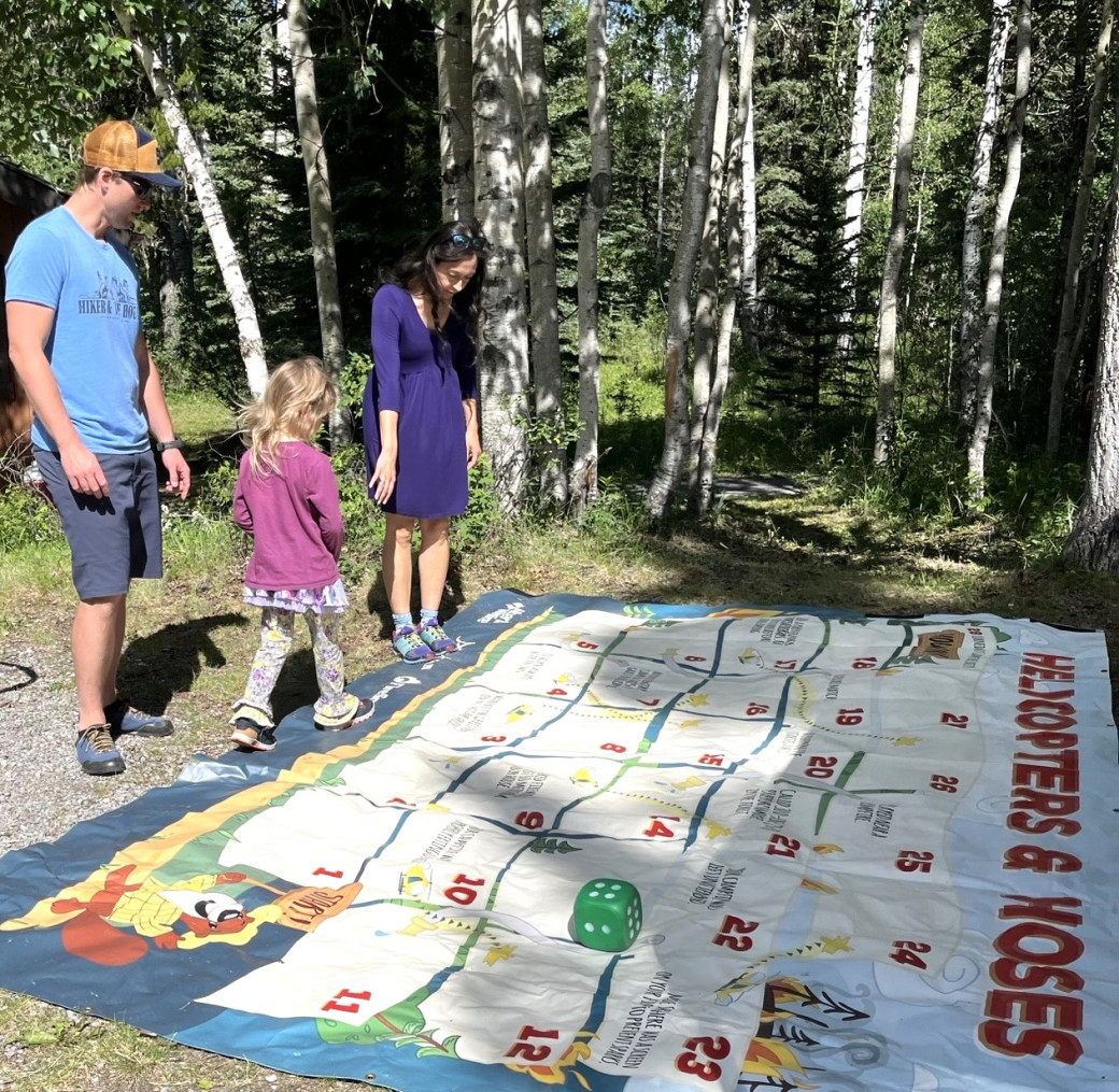
Community engagement
Families learned about wildfire prevention at this year's Kids Can Catch event in William A. Switzer Provincial Park. Thanks to everyone who stopped by to chat and learn more about Alberta Wildfire.
 Thank you to all those who joined us at Kelly's Bathtub for Kids Can Catch this weekend.
Contact info
Terry Abual-Soud
780-728-2397
[email protected]
Published on July 14, 2025 12:45 pm