Overview
Alberta’s Provincial Geospatial Centre (PGC) is the source for provincial geographic reference information, including aerial photographs, provincial base maps, datasets and other geospatial products.
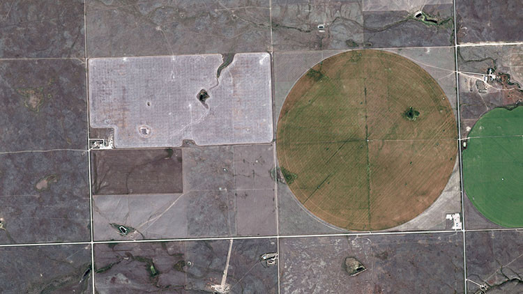
Air photos
Learn about and access Alberta's collection of over 2 million aerial photographs taken from 1920 to present.
Contact
Connect with the Provincial Geospatial Centre
Hours: 8:15 am to 4:30 pm (open Monday to Friday, closed statutory holidays)
Provincial Geospatial Centre – [email protected]
GeoDiscover Alberta – [email protected]
Data Order Desk – [email protected]
Altalis Help Desk – [email protected]
Mailing address:
Provincial Geospatial Centre
14th Floor, Oxbridge Place
9820 106 Street NW
Edmonton, Alberta T5K 2J6
Connect with the Air Photo Library
Note that the Air Photo Library is open by appointment only. For general queries, product orders or appointment bookings, contact us:
Phone: 780-427-3520
Toll free: 310-0000 before the phone number (in Alberta)
Email: [email protected]
Address:
Air Photo Library
2nd Floor East, Muriel Stanley Venne Provincial Centre
12360 142 Street NW
Edmonton, Alberta T5L 2H1